Uncovering Global Secrets: Real-Time Satellite Tracking
The vantage point of space, once the exclusive domain of reconnaissance missions and scientific observation, has increasingly become a powerful tool for understanding and interacting with our planet in real-time. Real-time satellite tracking, a convergence of advanced space technology and sophisticated ground-based infrastructure, offers an unprecedented window into the dynamic processes shaping our world. This capability allows for the continuous monitoring of a vast array of phenomena, from the subtle shifts of tectonic plates to the ephemeral dance of atmospheric currents, thereby unlocking a wealth of information that was previously inaccessible or only obtainable through laborious, delayed methods. The Earth, viewed from this aerial perch, transforms from a static map into a pulsating, living entity, revealing its secrets through the constant stream of data delivered by orbiting eyes.
The journey from rudimentary tracking to sophisticated real-time monitoring is a testament to human ingenuity and the relentless pursuit of knowledge. Early satellite tracking, driven by the imperatives of the Cold War, focused primarily on military reconnaissance and the verification of arms control treaties. The development of orbiting platforms capable of capturing images and transmitting data back to Earth marked a significant leap forward. However, these early systems were characterized by long dwell times, slow data transfer rates, and limited global coverage. The resolution of imagery was often insufficient for detailed analysis, and the latency between data acquisition and its availability for processing could render it obsolete for rapidly evolving situations.
Early Reconnaissance and the Dawn of Orbiting Eyes
The initial forays into satellite surveillance were akin to sending out scouts into unknown territory, providing fleeting glimpses of distant landscapes. The launch of Sputnik in 1957, while not a surveillance satellite, ignited the space race and demonstrated the potential of orbiting technology. Soon after, nations began deploying dedicated reconnaissance satellites, such as the CORONA program in the United States, which captured photographic film and returned it to Earth for processing. These missions offered invaluable intelligence but were inherently asynchronous, providing snapshots rather than continuous streams of information. Their deployment was akin to developing a picture from a single exposure, offering a static view rather than a dynamic film.
The Rise of Remote Sensing and Earth Observation
As technology advanced, the focus broadened from pure reconnaissance to encompass a wider spectrum of Earth observation. The launch of Landsat in the 1970s, for instance, marked a paradigm shift by initiating a program of continuous, systematic monitoring of Earth’s land surface. These satellites carried multispectral sensors, capable of detecting different wavelengths of light, allowing scientists and policymakers to study everything from agricultural health and deforestation to urban sprawl and geological formations. The data, while valuable, was still delivered in batches, requiring significant time for processing and dissemination. The transition was like moving from a single still photograph to a series of photographs taken at intervals, providing a chronological sequence but not the seamless flow of a video.
The Digital Revolution and Real-Time Data Transmission
The advent of digital imaging and advanced telecommunications has been the true catalyst for real-time satellite tracking. Satellites are no longer passive observers; they are active participants in a global data network. High-resolution digital sensors capture imagery and other forms of data, which are then transmitted instantaneously to ground stations via high-bandwidth communication links. This has opened the door to applications where immediate situational awareness is paramount. The evolution mirrors the transition from sending letters by post to instant messaging, where communication is immediate and interactive.
In the fascinating realm of satellite technology, the article “How Satellites Track Global Secrets in Real Time” delves into the intricate methods employed by modern satellites to monitor and gather critical information from around the globe. For those interested in exploring further, a related article that discusses the implications of satellite surveillance on privacy and security can be found at My Cosmic Ventures. This piece provides valuable insights into the balance between technological advancement and ethical considerations in the age of information.
Technological Pillars of Real-Time Tracking
The realization of real-time satellite tracking is not a singular innovation but rather a symphony of interconnected technologies. It requires a robust constellation of satellites, each contributing to a global coverage mosaic. Furthermore, advanced sensor technology is crucial for capturing the necessary detail and breadth of information. The critical link, however, lies in the infrastructure that manages and disseminates this data – the ground stations, the command and control systems, and the sophisticated algorithms that transform raw data into actionable intelligence.
Satellite Constellations: A Web in Orbit
Modern real-time tracking relies on carefully orchestrated satellite constellations, often comprised of dozens or even hundreds of individual satellites working in concert. These constellations are designed to achieve specific objectives, such as ensuring continuous global coverage, providing high revisit rates over target areas, or gathering data from different spectral bands. The deployment of these constellations can be likened to building a vast, intricate spiderweb in space, where each strand represents a satellite, and together they cast a net over the entire planet, ready to capture any movement or change.
- Low Earth Orbit (LEO) Constellations: These constellations, operating at altitudes between 160 and 2,000 kilometers, are characterized by their rapid orbits and high spatial resolution. Numerous small satellites, often launched in large batches, provide frequent revisits to the same locations. This is crucial for tracking dynamic events.
- Medium Earth Orbit (MEO) Constellations: Orbiting at higher altitudes than LEO, MEO satellites offer a balance between coverage area and resolution. They are often utilized for navigation and communication services, but also contribute to broader Earth observation.
- Geostationary Orbit (GEO) Constellations: Positioned at approximately 35,786 kilometers above the equator, GEO satellites appear to remain stationary with respect to a point on Earth. This makes them ideal for continuous monitoring of weather patterns and large-scale atmospheric phenomena, acting as unblinking sentinels over specific regions.
Advanced Sensor Technology: Seeing the Unseen
The quality and type of data collected are directly dependent on the sophistication of the sensors on board the satellites. From capturing optical imagery with unprecedented detail to detecting thermal signatures and even active radar pulses, these sensors are the instruments with which satellites perceive the world. The advancement in sensor technology has been a pivotal factor, allowing us to see beyond the limitations of the human eye.
- High-Resolution Optical Imagers: These sensors capture visible and near-infrared light, providing detailed photographic imagery with resolutions often measured in centimeters. They are akin to powerful telescopes, capable of discerning intricate details on the Earth’s surface.
- Multispectral and Hyperspectral Sensors: These go beyond visible light to capture data across a broader range of the electromagnetic spectrum. Multispectral sensors capture data in a few broad bands, while hyperspectral sensors collect data in hundreds of narrow, contiguous bands, allowing for the identification of specific materials and subtle environmental changes based on their unique spectral signatures. This is like analyzing a subject through a prism, revealing its constituent elements.
- Synthetic Aperture Radar (SAR): Unlike optical sensors, SAR instruments use radar waves to create images, allowing them to penetrate clouds, fog, and darkness. This capability is invaluable for all-weather monitoring and for detecting subtle changes in terrain and land cover. SAR acts as a form of “active vision,” illuminating the target and interpreting the reflected signal.
- Thermal Infrared Sensors: These sensors measure the heat emitted by objects on Earth, providing information about surface temperatures. This is critical for monitoring volcanic activity, forest fires, and the health of vegetation.
Ground Infrastructure: The Nervous System of Space Operations
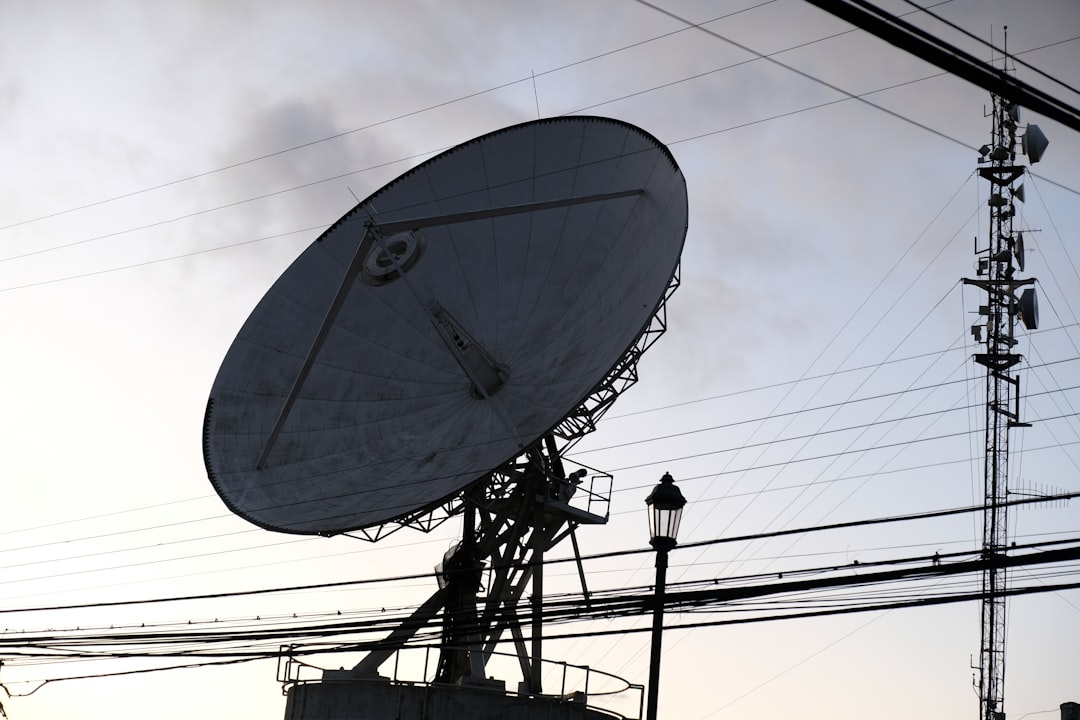
The satellites themselves are only one part of the equation. A robust network of ground stations is essential for receiving, processing, and distributing the vast amounts of data they generate. These ground stations, strategically located around the globe, act as the ears and hands of the satellite system, receiving the transmissions and translating them into usable information.
- Telemetry, Tracking, and Command (TT&C) Stations: These stations are responsible for maintaining communication with the satellites, sending commands for operation, and receiving telemetry data that indicates the health and status of the spacecraft. They are the controllers, ensuring the satellites are functioning as intended.
- Data Downlink and Processing Centers: Once sensors have collected data, it is transmitted to dedicated data downlink stations. This raw data is then routed to sophisticated processing centers where it is calibrated, enhanced, and formatted into a usable product for end-users. This is where the raw signals are refined into clear messages.
- Global Distribution Networks: The processed data needs to reach the individuals and organizations that require it. This is achieved through secure and often real-time distribution networks, ensuring that timely information is available to emergency responders, climate scientists, and national security agencies. This ensures the intelligence gathered reaches its intended destination swiftly.
Applications of Real-Time Satellite Tracking
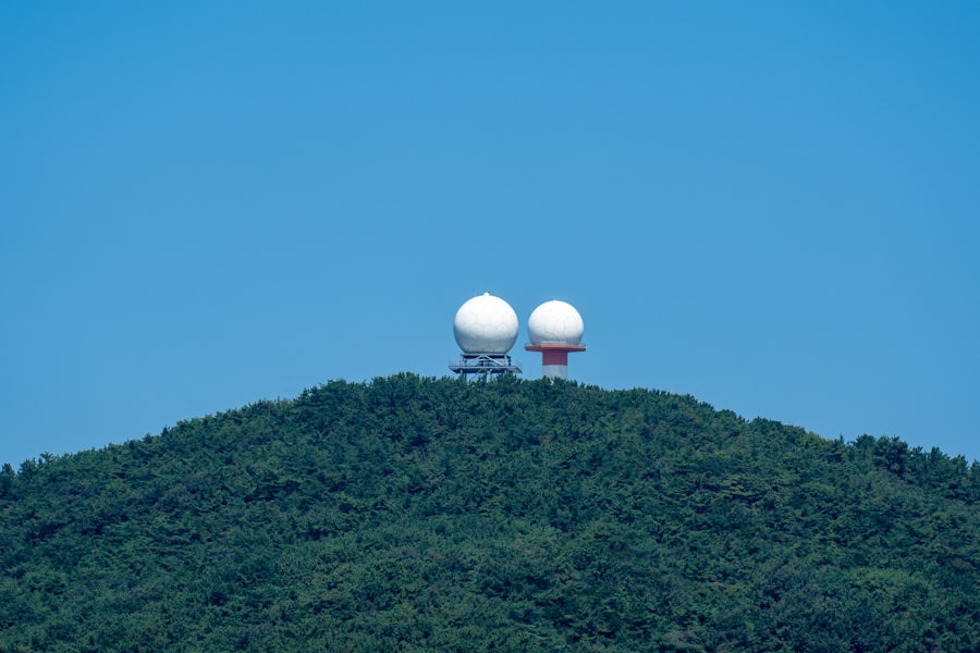
The transformative potential of real-time satellite tracking is evident in its diverse and impactful applications across numerous sectors. From safeguarding lives and property to driving economic efficiency and advancing scientific understanding, the ability to monitor our planet instantaneously is reshaping how we perceive and interact with our environment.
Disaster Management and Emergency Response
The immediate aftermath of a natural disaster is a critical period where every minute counts. Real-time satellite tracking provides invaluable support for disaster management and emergency response operations, offering situational awareness that was previously unimaginable. The ability to quickly assess damage, identify accessible routes, and locate stranded individuals can dramatically improve the effectiveness of rescue efforts and minimize human suffering.
- Rapid Damage Assessment: In the wake of earthquakes, floods, or hurricanes, high-resolution satellite imagery can be rapidly acquired to map the extent of destruction, identify damaged infrastructure, and pinpoint areas that require immediate attention. This allows response teams to prioritize their efforts, much like a medic triaging patients on a battlefield.
- Search and Rescue Operations: Satellites can be used to remotely monitor areas for signs of survivors, especially in remote or inaccessible terrain. Thermal imagery can detect body heat, and optical imagery can spot distinctive patterns indicating human presence.
- Logistics and Resource Allocation: Real-time tracking of satellite imagery can help monitor the movement of relief supplies and personnel, ensuring that resources are efficiently directed to where they are needed most. It also helps identify safe access routes for emergency vehicles.
Environmental Monitoring and Climate Change Research
The Earth’s environment is a complex and interconnected system, and real-time satellite tracking provides an indispensable tool for understanding its delicate balance. By continuously monitoring changes in land, oceans, and atmosphere, scientists can gain crucial insights into environmental degradation, the impacts of climate change, and the effectiveness of conservation efforts.
- Deforestation and Land Degradation Tracking: Satellites can monitor the rate of deforestation in critical biomes, track the spread of desertification, and assess the impact of unsustainable land management practices. This provides essential data for conservation policy and enforcement.
- Oceanographic Monitoring: Real-time data on sea surface temperature, ocean currents, and chlorophyll concentrations are vital for understanding marine ecosystems, tracking the impact of climate change on oceans, and monitoring for illegal fishing activities.
- Atmospheric Composition and Pollution Tracking: Satellites equipped with specialized sensors can monitor the composition of the atmosphere, tracking the spread of pollutants, volcanic ash plumes, and other atmospheric hazards. This aids in air quality management and predicting the trajectory of harmful substances.
- Ice Sheet and Glacier Monitoring: The rapid melting of polar ice caps and glaciers is a key indicator of climate change. Satellites provide continuous monitoring of their extent, thickness, and rate of retreat, offering critical data for climate models.
Economic and Infrastructure Management
Beyond environmental and emergency concerns, real-time satellite tracking offers significant economic benefits and plays a crucial role in managing critical infrastructure. From optimizing agricultural yields to ensuring the security of vital transportation networks, the applications are far-reaching.
- Precision Agriculture: Satellites provide farmers with detailed information about crop health, soil moisture, and nutrient deficiencies, enabling them to optimize irrigation, fertilization, and pest control. This leads to increased yields, reduced resource consumption, and lower environmental impact. It’s like giving farmers a highly detailed blueprint of each individual plant.
- Infrastructure Monitoring and Maintenance: Satellites can monitor the condition of bridges, pipelines, roads, and power lines, detecting early signs of wear, stress, or damage. This allows for proactive maintenance, preventing costly failures and ensuring the safety of critical infrastructure.
- Maritime and Aviation Surveillance: Real-time tracking of vessels and aircraft plays a vital role in maritime security, search and rescue operations, and air traffic management, enhancing safety and efficiency in global transportation.
- Resource Exploration and Management: Satellites assist in identifying potential sites for mineral and hydrocarbon exploration by analyzing geological formations and spectral signatures. They also aid in managing resources like water bodies and forests.
Challenges and Future Directions
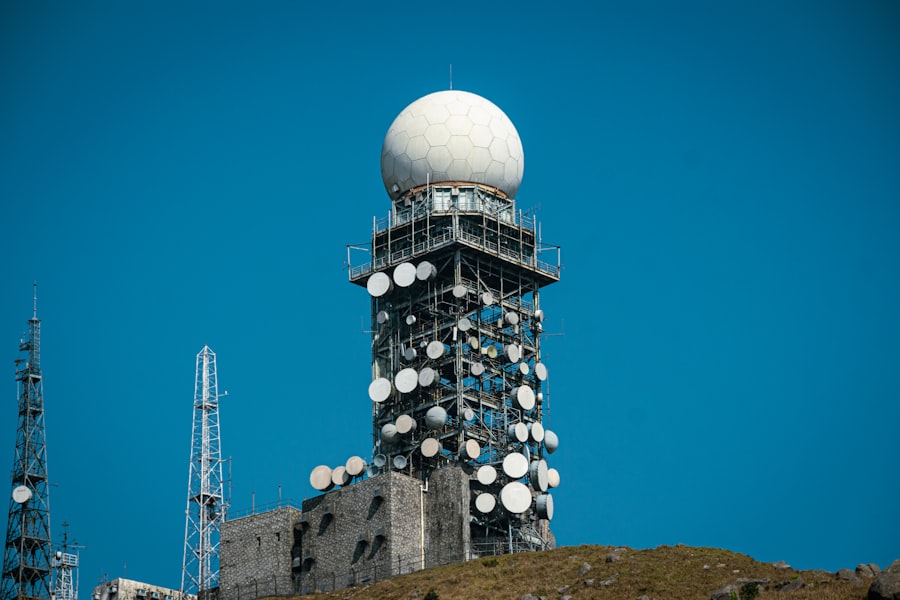
Despite the remarkable progress in real-time satellite tracking, significant challenges remain. The vast quantities of data generated require sophisticated processing and analysis capabilities. Furthermore, the cost of deploying and maintaining satellite constellations, alongside the development of cutting-edge sensor technology, presents considerable financial hurdles. The future of real-time satellite tracking lies in addressing these challenges and pushing the boundaries of what is currently possible.
Data Overload and the Need for Advanced Analytics
The sheer volume of data produced by real-time satellite systems is a double-edged sword. While it offers unprecedented insight, it also presents a significant challenge in terms of storage, processing, and analysis. Effectively extracting meaningful intelligence from this deluge of information requires advanced analytical tools and techniques. This is akin to trying to find a specific needle in a haystack the size of a continent.
- Artificial Intelligence (AI) and Machine Learning (ML): AI and ML algorithms are becoming indispensable for automating the detection of patterns, anomalies, and trends within satellite data. These technologies can learn to identify specific objects, classify land cover types, and detect changes with remarkable speed and accuracy, freeing up human analysts for higher-level interpretation.
- Cloud Computing and Big Data Infrastructure: The processing of massive satellite datasets necessitates robust cloud computing platforms and big data infrastructure that can handle the storage, management, and rapid analysis of petabytes of information.
- Data Fusion: Combining data from multiple satellite sensors and other sources (e.g., ground-based sensors, aerial imagery) can provide a more comprehensive and accurate understanding of the Earth’s systems. This process of data fusion is critical for unlocking deeper insights.
Cost Efficiency and Accessibility
The deployment and operation of advanced satellite systems are inherently expensive, which can limit accessibility for smaller organizations or nations with fewer resources. Efforts are underway to reduce launch costs and develop more cost-effective satellite technologies.
- Small Satellite Constellations (SmallSats and CubeSats): The development of smaller, more standardized satellites has significantly reduced launch costs and development cycles. These “nano-satellites” can be deployed in large numbers to form specialized constellations for specific tasks, democratizing access to space-based data.
- Commercialization of Space: The increasing involvement of private companies in the space sector is driving innovation and competition, leading to more affordable satellite imagery and data services.
- Open Data Policies: The promotion of open data policies by governments and international organizations makes valuable satellite data freely available to researchers, developers, and the public, fostering innovation and broader utilization.
The Promise of Enhanced Resolution and Novel Sensing Capabilities
The relentless pursuit of improvement in satellite technology continues. Future developments will likely focus on achieving even higher spatial and temporal resolutions, alongside the development of novel sensing capabilities that can unlock new dimensions of Earth observation.
- Hyper-spectral and Hyperspatial Resolution: Future sensors may offer hyperspatial resolution, capturing images with astonishing detail, and hyperspectral capabilities, providing an even finer spectral analysis of Earth’s surface.
- Quantum Sensing: Emerging quantum sensing technologies hold the potential for unprecedented sensitivity and accuracy in satellite-based measurements, allowing for the detection of minute changes that are currently undetectable.
- Onboard AI and Edge Computing: The trend towards integrating AI and computing power directly onto satellites (edge computing) will enable faster data processing and decision-making in orbit, reducing the reliance on ground infrastructure and enabling more responsive operations.
In the ever-evolving landscape of technology, the ability of satellites to monitor global secrets in real time has become increasingly significant. This capability not only enhances national security but also impacts various industries, from agriculture to environmental monitoring. For a deeper understanding of how these advancements are reshaping our world, you can explore a related article that delves into the intricacies of satellite technology and its applications. To read more about this fascinating topic, visit this article.
Ethical and Societal Implications
| Metric | Description | Example Data | Relevance to Tracking Global Secrets |
|---|---|---|---|
| Satellite Resolution | Level of detail captured by satellite sensors | Up to 30 cm per pixel | Higher resolution enables identification of small objects and activities |
| Revisit Time | Frequency at which a satellite passes over the same location | Every 15 minutes to 24 hours | Allows near real-time monitoring of changes and movements |
| Data Transmission Speed | Rate at which satellite data is sent to ground stations | Up to several Gbps | Enables rapid delivery of intelligence for timely analysis |
| Spectral Bands | Range of electromagnetic spectrum captured (visible, infrared, radar) | Multispectral and hyperspectral sensors | Helps detect hidden or camouflaged objects and activities |
| Onboard Processing | Ability to analyze data directly on the satellite | AI-based anomaly detection algorithms | Reduces data volume and highlights suspicious activities in real time |
| Coverage Area | Geographical area monitored by the satellite | Thousands of square kilometers per pass | Enables wide-area surveillance for global secret tracking |
| Encryption & Security | Measures to protect data integrity and confidentiality | End-to-end encryption protocols | Ensures sensitive intelligence is securely transmitted and stored |
The pervasive nature of real-time satellite tracking, while offering immense benefits, also raises important ethical and societal questions that must be carefully considered. The ability to monitor virtually every corner of the globe necessitates a robust framework for privacy protection, data security, and responsible utilization.
Privacy Concerns and Data Sovereignty
The constant surveillance capability of satellites can intrude upon individual privacy if not managed with stringent ethical guidelines. The potential for misuse of this technology for surveillance purposes, both by governments and private entities, is a significant concern. Furthermore, questions of data sovereignty – who owns and controls the data collected over a nation’s territory – are becoming increasingly complex.
- Balancing Security and Privacy: Striking a balance between the need for global security and the fundamental right to privacy is a critical challenge. Clear regulations and ethical frameworks are required to govern the collection, use, and dissemination of satellite data.
- Anonymization and Pseudonymization: Techniques for anonymizing or pseudonymizing collected data can help protect individual privacy while still allowing for valuable aggregate analysis.
- International Cooperation and Norms: Establishing international agreements and norms for satellite operations and data sharing is essential to prevent misuse and ensure responsible global governance.
The Digital Divide and Equitable Access
While satellite technology offers immense potential, there is a risk of exacerbating existing inequalities if access to its benefits is not equitably distributed. The digital divide could widen, with nations and communities that lack the necessary infrastructure or technical expertise being left behind.
- Capacity Building and Knowledge Transfer: Investing in education and training programs in developing countries can help build the capacity to utilize and benefit from satellite data.
- Open and Affordable Data Initiatives: Continued efforts to make satellite data more accessible and affordable are crucial for ensuring equitable participation in the benefits of this technology.
- Collaborative Research and Development: Fostering international collaboration in research and development can accelerate progress and ensure that innovative solutions are developed with broad societal needs in mind.
The Future of Global Awareness
The evolution of real-time satellite tracking is not merely a technological advancement; it represents a fundamental shift in our ability to comprehend and interact with our planet. As we continue to refine these capabilities, we move towards a future where our understanding of global events, environmental processes, and human activities is increasingly immediate and comprehensive. This persistent gaze from space transforms our planet into a transparent entity, revealing its secrets for all who seek to understand. The ongoing quest to uncover global secrets through real-time satellite tracking is thus an endeavor that promises to reshape our world, fostering greater awareness, enabling more effective problem-solving, and ultimately, contributing to a more sustainable and secure future for all.
FAQs
How do satellites track global events in real time?
Satellites use advanced sensors and imaging technology to monitor Earth’s surface continuously. They capture data such as weather patterns, environmental changes, and human activities, which is then transmitted to ground stations for real-time analysis.
What types of satellites are used for tracking global secrets?
Various satellites, including reconnaissance, weather, and communication satellites, are employed to track global secrets. Reconnaissance satellites are specifically designed for intelligence gathering, while weather satellites monitor atmospheric conditions, and communication satellites facilitate data transmission.
How is the data collected by satellites processed and used?
Data collected by satellites is transmitted to ground control centers where it is processed using sophisticated algorithms and software. This information is then analyzed to provide insights for military intelligence, disaster response, environmental monitoring, and other applications.
What technologies enable satellites to provide real-time tracking?
Technologies such as high-resolution imaging, synthetic aperture radar (SAR), and advanced communication systems enable satellites to capture and transmit data quickly. These technologies allow for near-instantaneous monitoring and reporting of global events.
Are there any limitations to satellite tracking of global secrets?
Yes, limitations include weather interference, satellite coverage gaps, data latency, and the need for secure data handling. Additionally, some regions may be difficult to monitor continuously due to satellite orbit paths and technical constraints.